A clearer view from space: SpaceEye-T raises the bar for satellite imaging
For millennia, the mountaintop was humanity’s best perch for observing the world below. That changed with the invention of photography — and human ingenuity quickly took flight. Cameras were soon lofted by balloons, and even strapped to pigeons, capturing some of the first aerial Earth images and forever transforming how we see the planet.
Since then, Earth observation (EO) has progressed dramatically. More than 10,000 satellites orbit the planet today, including over 1,000 dedicated to EO. Most operate in low Earth orbit, between 500 and 1,000 kilometers above the surface, enabling high-resolution monitoring of global activity and environmental change.
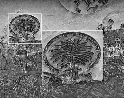
EO satellites are equipped with a range of sensing technologies, including electro-optical, infrared, and synthetic aperture radar (SAR) systems. Electro-optical sensors capture reflected sunlight to produce detailed, photo-like imagery. Infrared sensors detect heat signatures, which are useful for monitoring vegetation, wildfire risk, and energy usage. SAR systems use microwave signals to penetrate cloud cover and operate in darkness. Together, these capabilities provide insights into surface conditions, environmental changes, and human activity that are often invisible to the human eye or undetectable using standard imaging methods.
The applications of EO data span industries and governments. The World Economic Forum identifies agriculture, electricity and utilities, public services, finance, natural resources, and logistics as the sectors poised to derive the most economic value from EO. Public-sector uses are equally expansive, supporting urban planning, environmental monitoring, disaster response, and national security strategies.
Satellite imagery applications
-
-
-
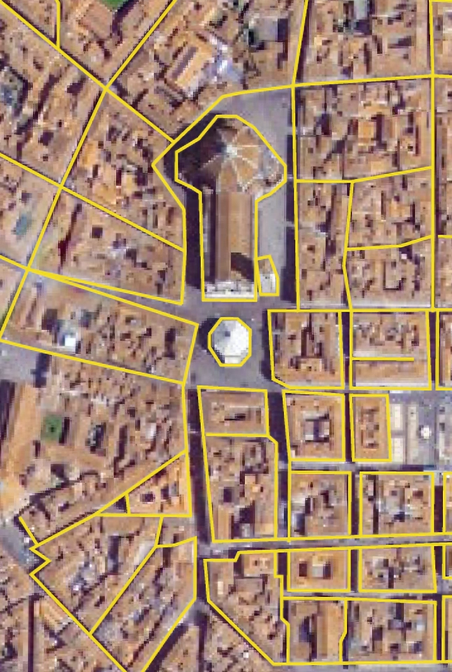
Mapping: Creating maps for various purposes
-
-
-
-
Infrastructure: Urban planning, infrastructure and urban change detection
-
-
-

-
Oil and gas facilities: Estimating crude oil volume
-
-
-
-
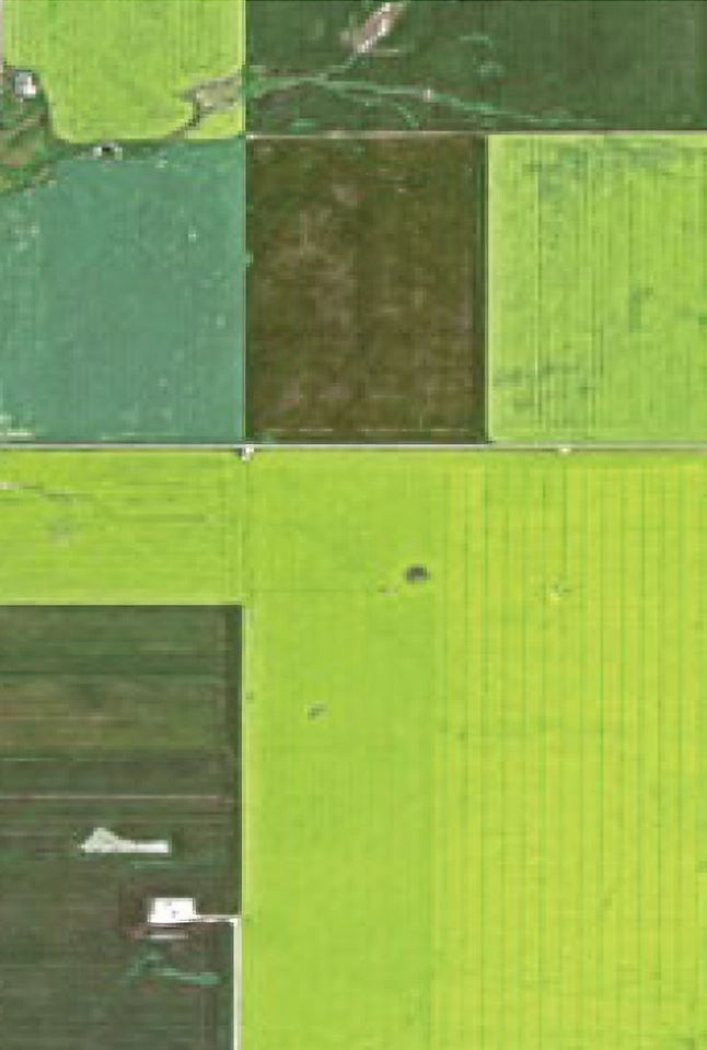
Agriculture: Monitoring farmland and crops
-
-
-
-
Maritime: Detecting illegal vessels, oil spills, and accidents
-
-
-

-
Disaster counterplan: Identifying global disasters and climate issues
-
-
-
-
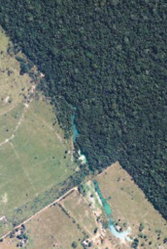
Forestry and environment: Observing glaciers and rainforests
-
-
-
-
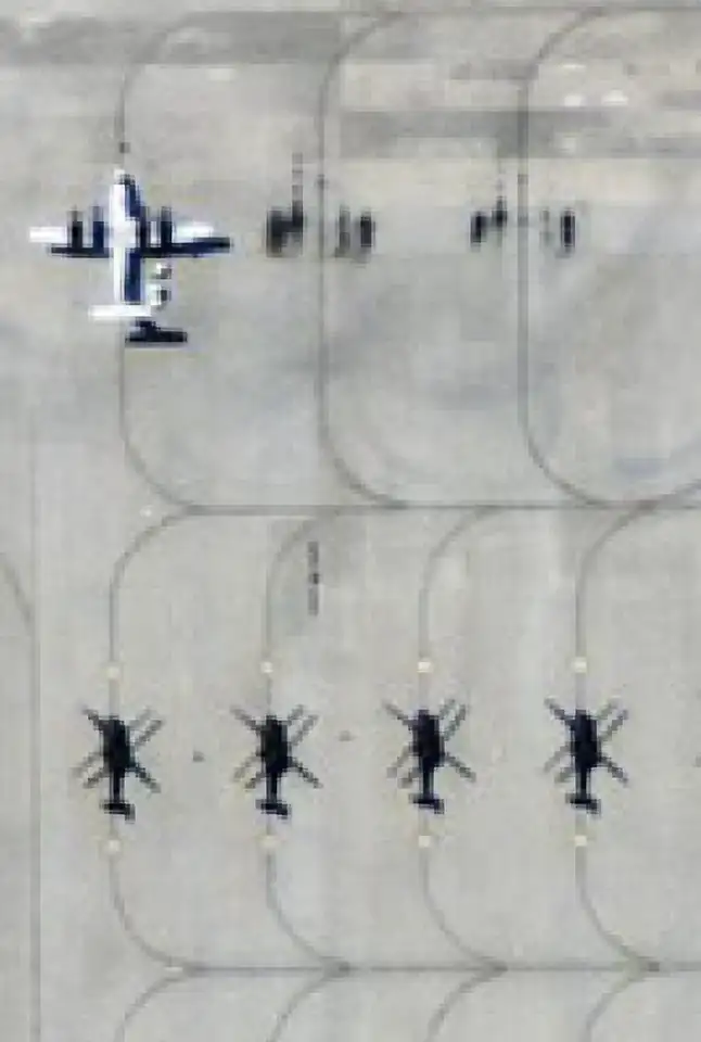
Defense and military: Identifying military facilities
-
Why high-resolution Earth observation matters
As demand for sharper, faster, and more responsive Earth imagery accelerates, EO satellites are playing a growing role in enabling real-time decision-making. Recent advances in imaging technology — particularly below the one-meter threshold — are expanding the use of EO across commercial and public sectors alike. From climate resilience to infrastructure oversight, the strategic value of high-resolution geospatial data is becoming increasingly clear.
Today’s leading commercial optical systems can capture imagery at resolutions as fine as 30 centimeters — a category known as very very high resolution (VVHR). However, access to this level of detail remains constrained. Government and defense agencies often receive priority tasking for premium EO assets, limiting availability and timeliness for commercial users.
With demand for sharper, more responsive imaging rising, commercial providers are moving quickly to close the access gap. Among the most advanced solutions on the market is SpaceEye-T — a next-generation satellite bringing VVHR capabilities to a broader audience of users.
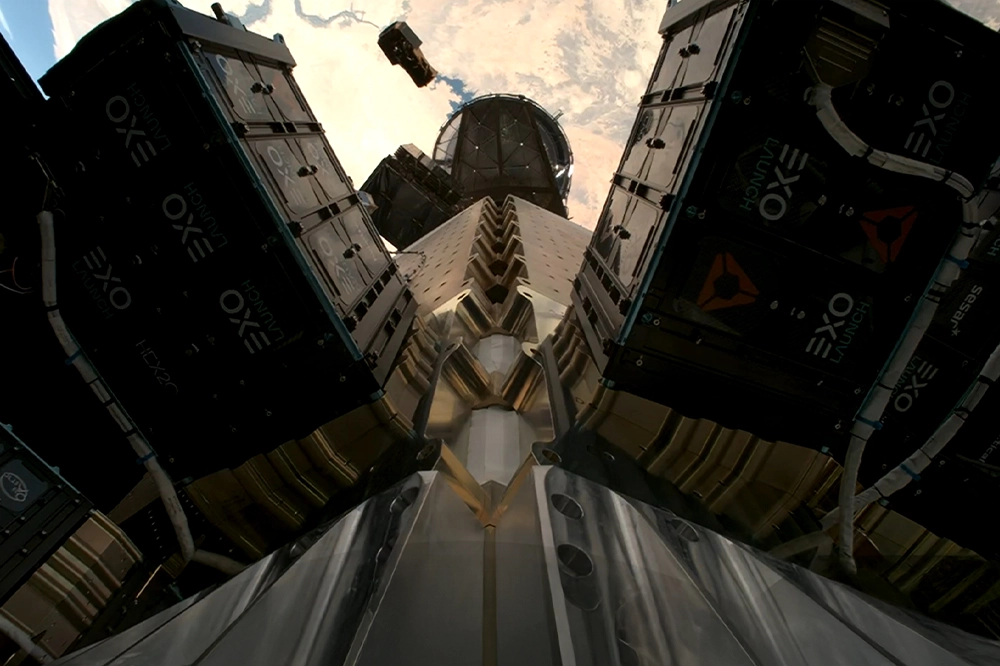
SpaceEye-T satellite separating from Falcon 9 launch vehicle
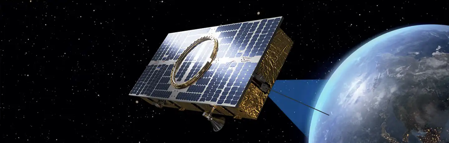
SpaceEye-T: High-resolution imaging, made more accessible
Launched on March 15, 2025, SpaceEye-T was developed and is operated by Satrec Initiative — one of South Korea’s leading satellite manufacturers and provider of advanced satellite services — with Hanwha Aerospace as its largest shareholder.
With over 30 years of technical experience and more than 40 satellite missions completed, Satrec Initiative brings end-to-end expertise to every stage of satellite development. Unlike manufacturers that rely heavily on off-the-shelf components, Satrec Initiative designs and manufactures its core satellite systems in-house. This integrated approach enables superior system optimization, reduces complexity and cost, and supports tailored configurations to meet mission-specific needs.
“By designing and manufacturing all key satellite components in-house, we can optimize the system from the ground up — minimizing weight, maximizing performance, and ultimately reducing costs for customers,” said Eundeok Bae, executive vice president at Satrec Initiative. “This integrated approach is one of our key competitive advantages.”
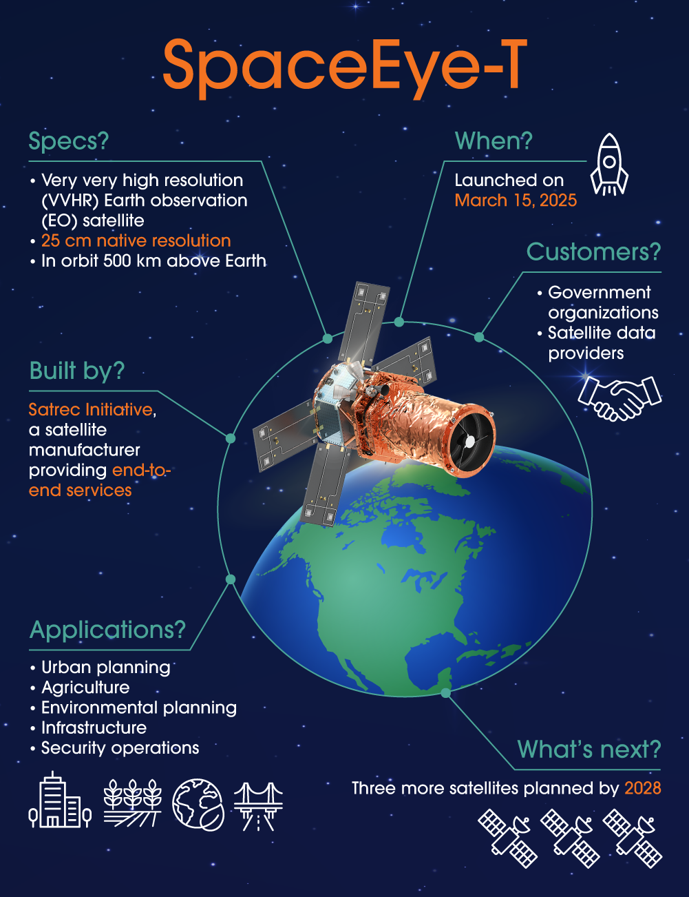
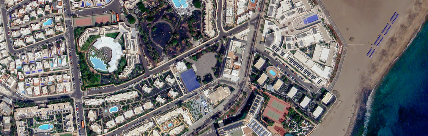
SpaceEye-T operates as a low Earth orbit satellite and is equipped with a 25 cm native resolution optical system, currently the most advanced commercially available. It supports high-throughput image delivery, enabling rapid tasking and the transfer of large volumes of data. Within just three hours of launch, SpaceEye-T captured and delivered its first image — a high-resolution view of the Canary Islands — exceeding initial performance expectations.
To make high-resolution EO services more accessible, Satrec Initiative has introduced a satellite leasing model. This approach provides customers with full tasking control, regional exclusivity, and secure data transmission — all without the need to build their own satellite infrastructure. The model lowers barriers to entry for customers while guaranteeing that they maintain operational control and data confidentiality.
Looking ahead, Satrec Initiative plans to deploy a satellite constellation of four SpaceEye-T satellites by 2028. This expansion will significantly shorten revisit intervals, enabling daily imaging of the same location — a critical advantage for sectors that require continuous monitoring and up-to-date insights.
“For end users, the revisit cycle is just as important as the resolution of the satellite, and by operating a constellation of four SpaceEye-T satellites, the revisit cycle can be dramatically reduced,” said Eugene D. Kim, executive vice president at Satrec Initiative.
This combination of spatial detail and temporal frequency is especially valuable for applications such as agriculture, environmental monitoring, and national security — where conditions can shift rapidly and decisions depend on real-time intelligence.
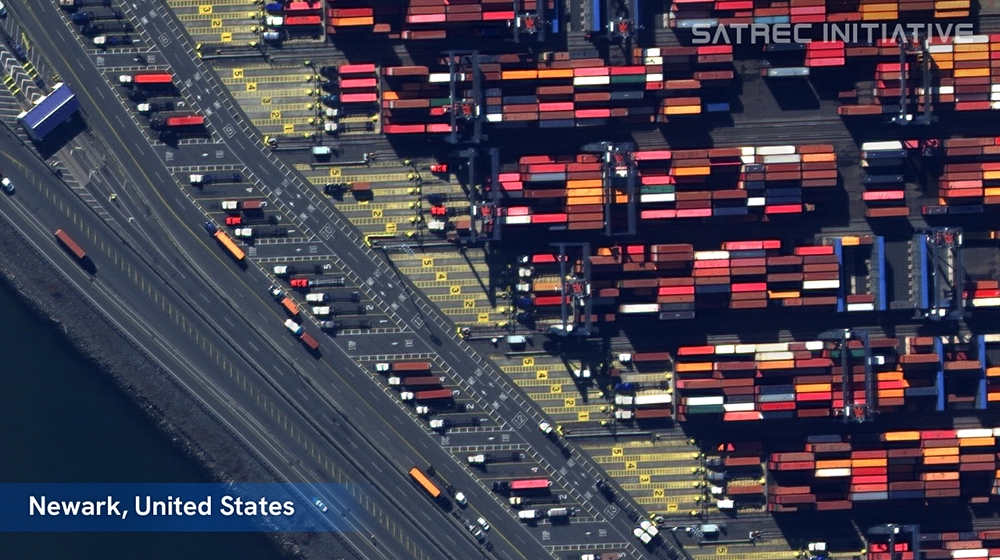
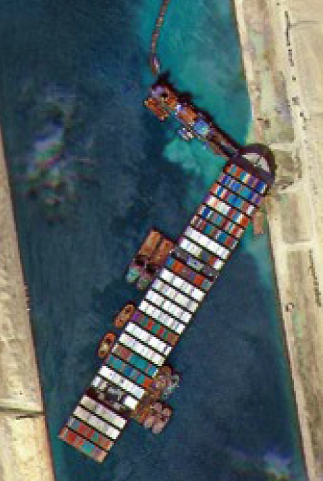
Satellite image of a busy container port in Newark, New Jerey, U.S., captured by SpaceEye-T

Satellite image of the Eiffel Tower in Paris, France, captured by SpaceEye-T
Beyond satellites: Building a more integrated space business
Hanwha is expanding its presence in the satellite industry by investing across the entire satellite value chain — from satellite development and imaging services to data delivery and AI-powered analysis. This strategy supports the company’s broader vision of delivering integrated solutions that link space technologies to real-world applications across industries.
Satrec Initiative plays an important role in this approach. In addition to manufacturing next-generation EO satellites, the company delivers downstream services such as image processing, tasking support, and analytical solutions that help users convert raw satellite data into mission-critical insights. These services are supported by a robust ground segment and ongoing investments in automation, software development, and system optimization.
Hanwha Systems contributes to this broader ecosystem by advancing the development of small SAR satellites, which offer all-weather, day-and-night imaging capabilities. SAR complements optical satellite systems by expanding geographic coverage and ensuring data continuity under challenging observation conditions.
Together, these capabilities underscore Hanwha’s investment in space technologies — delivering not only high-resolution imagery but also the infrastructure, intelligence, and partnerships required to support a more connected world. By pairing in-house innovation with global collaboration, Hanwha is advancing core space technologies to provide solutions that strengthen economic infrastructure and support societal and environmental resilience.
Related Content


Get the latest news about Hanwha, right in your inbox.
Fields marked with * are mandatory.
- Non-employee
- Employee